

Digital mapping of peatlands in Papua, Indonesia
April 26, 2019
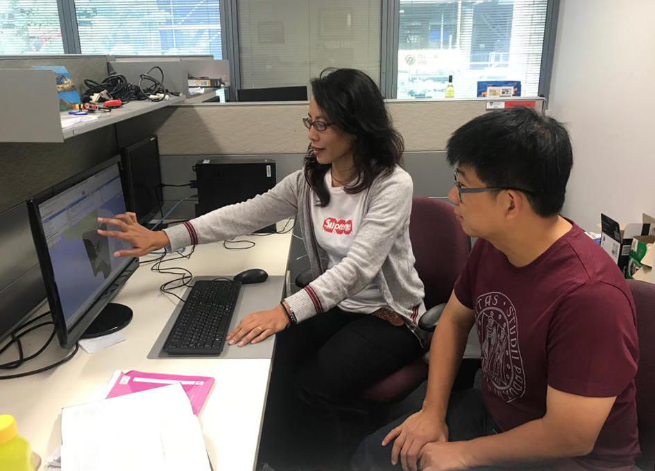
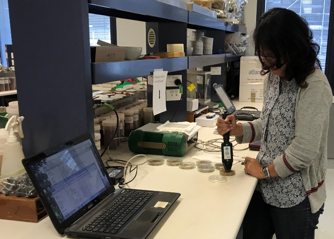
At the end of 2018, Dr Wirastuti Widyatmanti from Gadjah Mada University spent two months at the Soil Security Centre at the University of Sydney learning new digital mapping techniques used to map peatlands in remote areas such as Papua. Dr Widyatmanti received her PhD under the ACIAR John Allwright Scheme and we are pleased to value-add to this through our NSW committee’s strategy to build capacity in the next generation in natural resource management.
Indonesia has the largest area of tropical peatland in the world, a critical carbon store. However, Indonesia’s peatlands are also a main source of carbon emissions, due to the drainage of large areas for agriculture, forestry and fire. A reliable monitoring, reporting, and verifying (MRV) system is required to understand the roles of Indonesian peatlands, with methodologies and tools needed to quantify the amount of below-ground carbon stock.
“The training program provided by the Crawford Fund is the perfect example of achieving a person to person connection between Australia and its neighbouring countries. By personal training, Dr Widyatmanti experienced Australian research and culture,” said Professor Budiman Minasny from the University of Sydney’s Soil Security Centre.
“This training has provided me with the ability to identify the needs of environment, social and economic balance on peatland and food security, and to provide recommendations and suggestions to policy makers for sustainable peat management in Indonesia,” Dr Widyatmanti concluded.
Our NSW Committee has previously supported digital soil mapping training by another Indonesian researcher, Dr Rudiyanto. You can read about the previous training here.


