

Monitoring weed pressure in rice fields with radar, Trop Ag
October 13, 2025
Crawford Fund’s Queensland Committee has again partnered with the TropAg International Agriculture Conference to assist 10 young researchers from developing countries attend and present their science at this international conference which will be held in Brisbane from 11-13 November 2025.
Successful conference scholarship candidates must be an Honours or Postgraduate student from a developing country who is currently studying at a Queensland tertiary institute, and they must be an author or co-author on a submitted TropAg 2025 Conference abstract.
In the lead-up to the conference we will be publishing short blog posts written by the young researchers about their work. Here is the first blog.
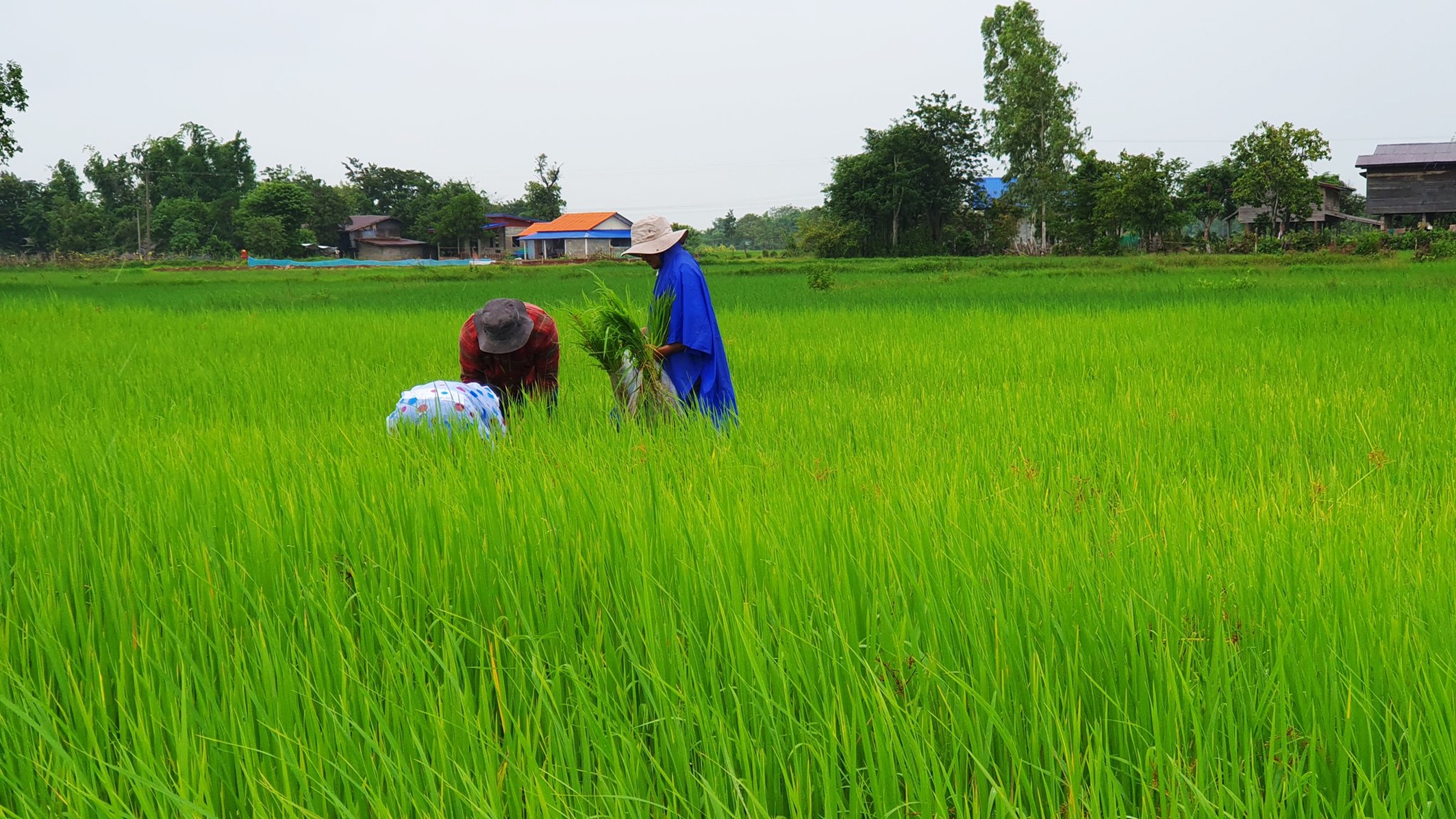
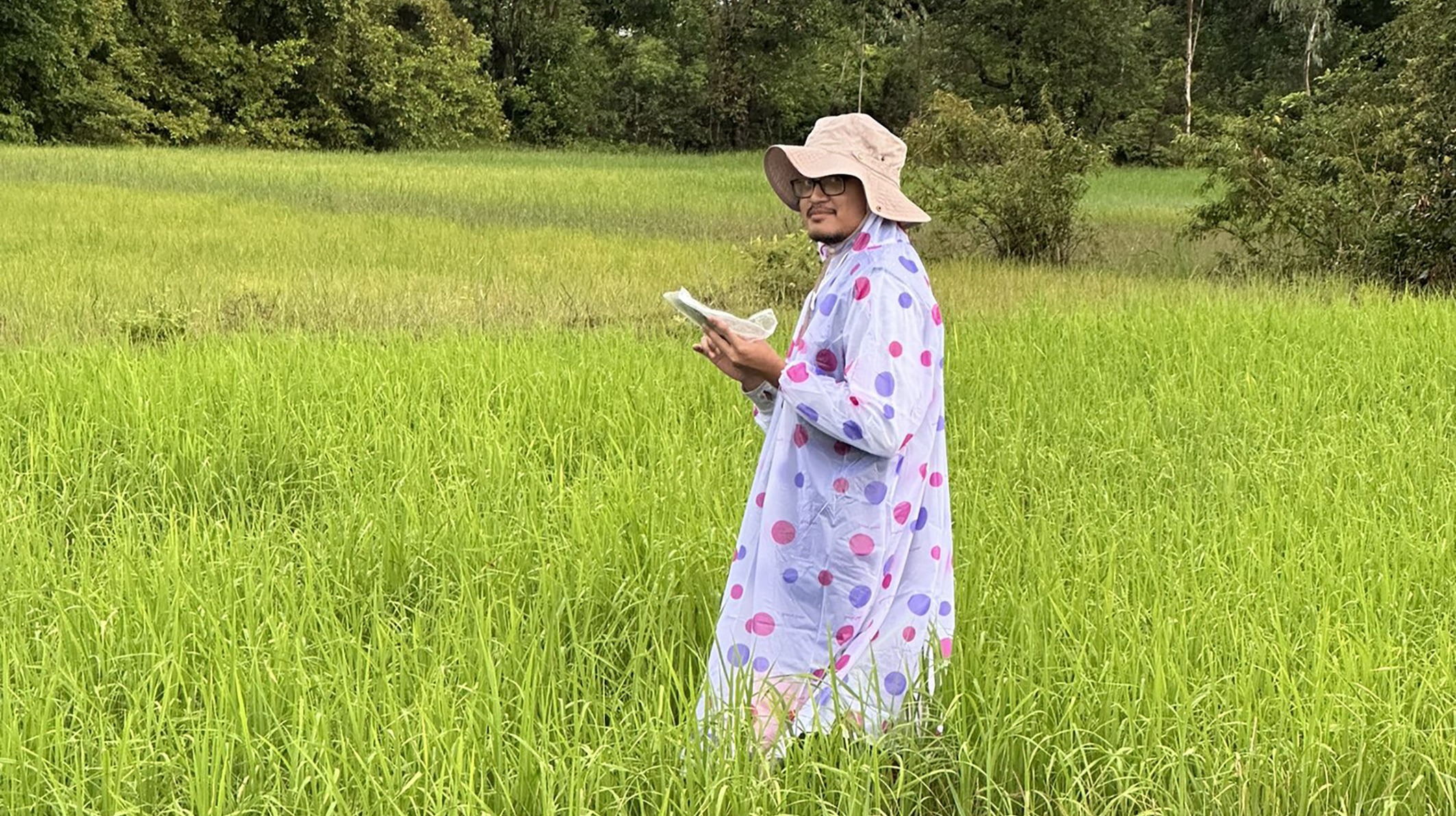
By Adhera Sukmawijaya, University of Queensland
Leveraging Temporal Synthetic Aperture Radar for Tracking Weed Infestation Severity in Direct Seeded Rice Systems in Lao PDR
In the rice fields of Southeast Asia, farmers face a constant fight against weeds. Direct-seeded rice (DSR) systems, which are increasingly adopted across the region, are more vulnerable to weed infestation due to the absence of standing water during crop establishment. When labour is scarce and herbicides lose effectiveness, monitoring current weed pressure becomes critical. My research uses radar satellites, specifically Synthetic Aperture Radar (SAR), to address this.
SAR differs from regular satellite imagery because it can penetrate clouds and operate day or night. This makes it ideal for monsoonal regions like Lao PDR, where cloud-free images are rare during the wet season. I analyse SAR signals such as VV and VH polarisation, along with more complex indicators including RVI and polarimetric matrices, to detect the presence and severity of weeds.
Because my observations were conducted in two separate years, I merge multiple SAR images from different acquisition dates to achieve full spatial coverage. On the ground, we collect weed scores, density, and biomass to train and validate our models. These measurements help estimate where infestations occur and how severe they are.
When simple data correlations are not strong enough, I apply machine learning methods to improve mapping accuracy. The goal is to introduce a supporting input source that is fast, cost-effective, and scalable. By identifying weed infestations during the critical competition period, we give smallholder rice farmers a better chance to respond early. This saves time, improves input efficiency, and supports food security in the region.


